Technology · active project · Aggles360
The town from 400 feet
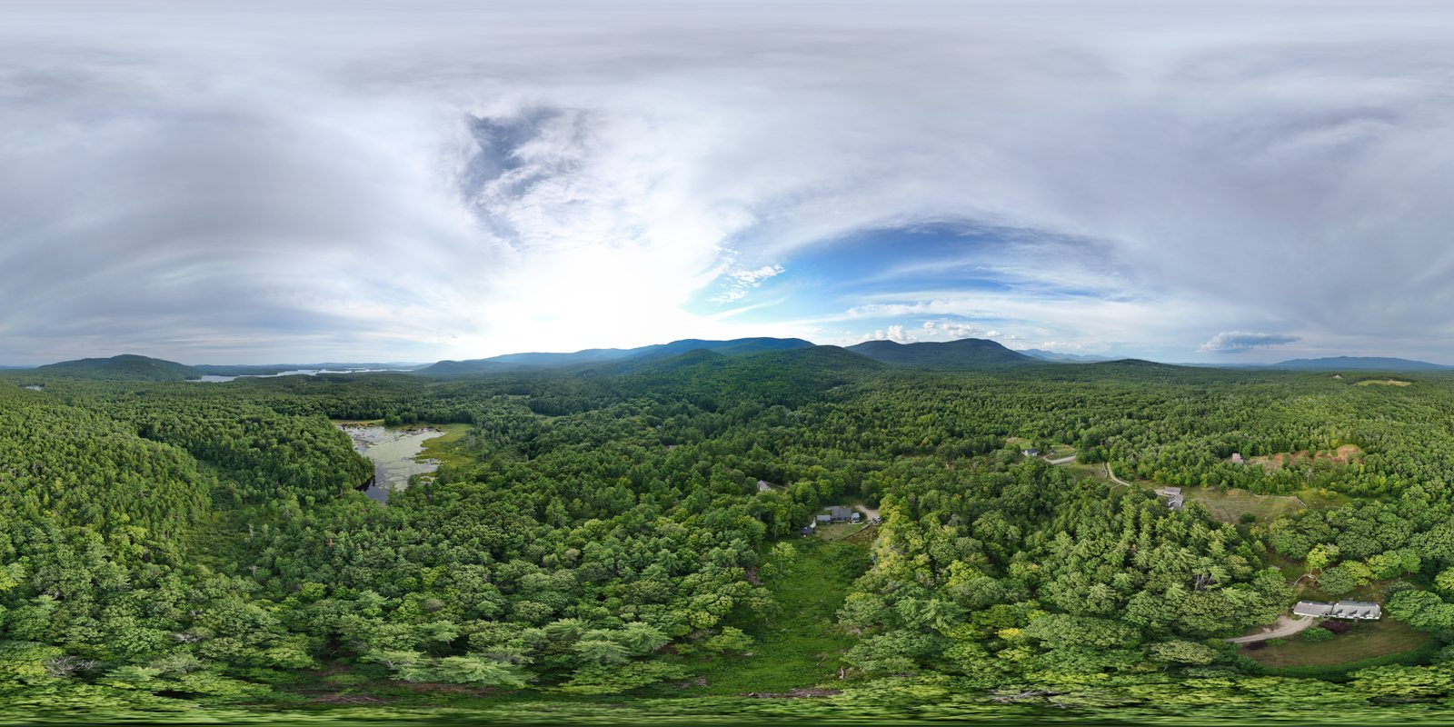
Four hundred feet above ground level is as high as a small drone may legally fly — and it turns out to be the height where a town starts to make sense. Choose a location and look around.
Part 107 certifiedDJI Mini 4 Pro 28 sites planned
Explore more than 400 views
Load the interactive Aggles360 tour to move between drone panoramas from around town.
The interactive viewer is hosted by TourMkr through Aggles360.Open the complete tour in a new tab →
How it’s made, and why
Each location is a full sphere captured at up to 400 feet AGL and stitched into a 2:1 panorama. The web copy is tiled at several resolutions so phones load only the detail they need.
The useful part is not only the picture. A shoreline, road cut, wetland edge, or forest opening can be inspected in context without requiring a visit to the site.
Learn to Fly
Public FAA and manufacturer material used for Part 107 study and DJI Mini 4 Pro operation.